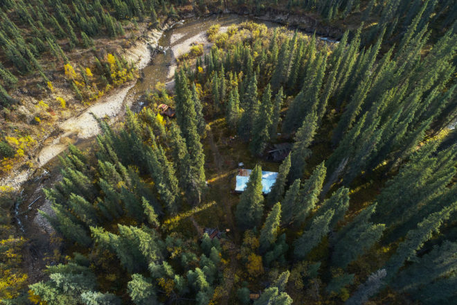
At Brice, we excel at identifying opportunities with both short- and long-term benefit. In one such recent instance, we bid on a complex project that required the survey of hundreds of remote mining sites across Alaska. Right away, we knew our expertise in aerial imaging was the key to a successful bid and project outcome. But one that required a new and sizeable investment.
Brice took the leap, which has not only brought tremendous value to our client, but has also positioned us in the market to self-perform aerial imaging and surveying at remote sites without the need for a 3rd party provider.
Our investment into fixed-wing, professional mapping UAVs allows us to more cost-effectively map and document larger areas with not just a better camera, but one that now incorporates survey grade accuracy with minimal use of ground control. The benefit to our clients is distinct: Hundreds of acres can be mapped in a single flight with 5-30 cm RMSEr horizontal accuracy, without ever directly setting foot onsite. As the FAA begins to more readily permit Beyond-Line-of-Sight (BLOS) operations within the national airspace, Brice is ready with 4G connectivity capability to conduct flights well over 10 linear miles.
Whether employing our small quadcopters that can hover just a few feet off the ground to capture imagery with extreme detail of a very small area or launching the fixed-wing UAV to capture hundreds of acres in a single flight, Brice has got the tools to deliver more precisely and cost effectively to our client’s needs.


 As an ANC 8(a) firm, Brice is eligible to receive sole source contracts regardless of dollar size, with no upper limit, compared with traditional 8(a) enterprises which are held to a sole source contract limit of $4 million.