Highly detailed aerial imagery for project sites is now an affordable option, thanks to advancements in unmanned aircraft systems (UAS) technology and digital photogrammetry. These advancements allow for the creation of centimeter pixel resolution imagery with much greater detail than that found in satellite imagery and traditional aerial imagery. In fact, UAS orthoimagery can contain over 10,000 pixels within the space of a single satellite imagery pixel. That means through UAS orthoimagery, actual ground conditions are visible to the naked eye—we can now see things that were not previously distinguishable in satellite imagery.
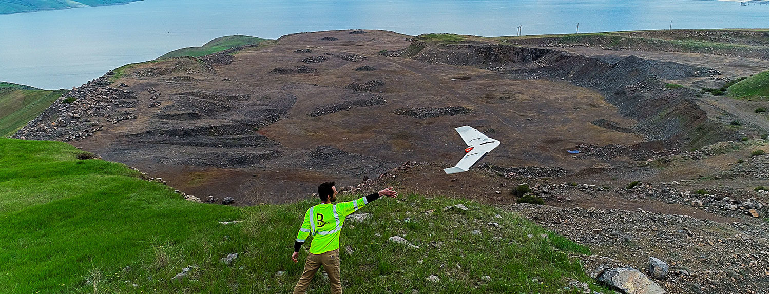
Brice deploys UAS with Micro Four Thirds camera sensor technology to capture images of remote sites and/or complex environments for our clients. UAS orthoimagery can add tremendous value for project scoping, planning, and execution, as well as ongoing site monitoring, especially at small remote sites for which very poor historical aerial and satellite imagery currently exists, if at all. And because we’ve expanded our UAS toolbox by adding fixed-wing platforms, we can now survey and photograph large sites without a third party provider.
With UAS orthoimagery, we can now document site conditions before, during and after fieldwork at minimal cost. Further, orthorectification and georeferencing give you confidence that the image coordinates of a site feature are a true representation of its ground location. Lastly, image processing turnaround time is minimal, allowing you to use the imagery in near real time to track progress and make decisions on a more timely basis. To read more about our UAS capabilities, read our Statement of Capabilities here.
UAS Project Feature
Measuring Change: Surveying Basalt Hill Quarry and developing high accuracy digital terrain models.
Project: Basalt Hill Quarry Exploration and Test Plan
Sister Subsidiary: STG Pacific, LLC
Client: Bureau of Reclamation
Location: Los Banos, CA
STG Pacific was contracted by the Bureau of Reclamation to perform test blasts of the Basalt Hill Quarry for development and testing of materials. The material to be investigated is planned for use in the future construction of the B.F. Sisk Dam Safety of Dam Modification Project.
Brice worked with sister company STG Pacific, LLC to help document and survey the quarry conditions before and after site detonations. UAS was selected over conventional methods because of the large survey area and dangerous terrain. In addition to high resolution orthorectified imagery, in environments where minimal amount of vegetation cover exists, accurate terrain elevations can also be derived through digital photogrammetric processing of aerial imagery. The generated product is commonly referred to as a digital terrain model (DTM). With the DTMs generated by Brice, STG Pacific and the Bureau of Reclamation were able to accurately visualize the changing conditions and also compute accurate displacement volumes.
A fixed-wing unmanned aerial vehicle (UAV) was selected for this project, equipped with a low-distortion camera and survey-grade GNSS, resulting in precise camera locations with minimal need for ground control points (GCP) – often the most labor-intensive process of UAV data collection. Redundant flights were conducted, and the processed terrain models then averaged into a single model – further increasing the probability the DTM elevations more closely matched the true terrain elevations.
The root mean square error (RMSEz) calculated of DTM elevations with respect to GCP elevations achieved for this project was 0.06 feet, with a maximum residual error of 0.14 feet – results very comparable to those obtained through conventional terrestrial survey instruments – and a demonstration of the powerful data collection capability of UAS.

